


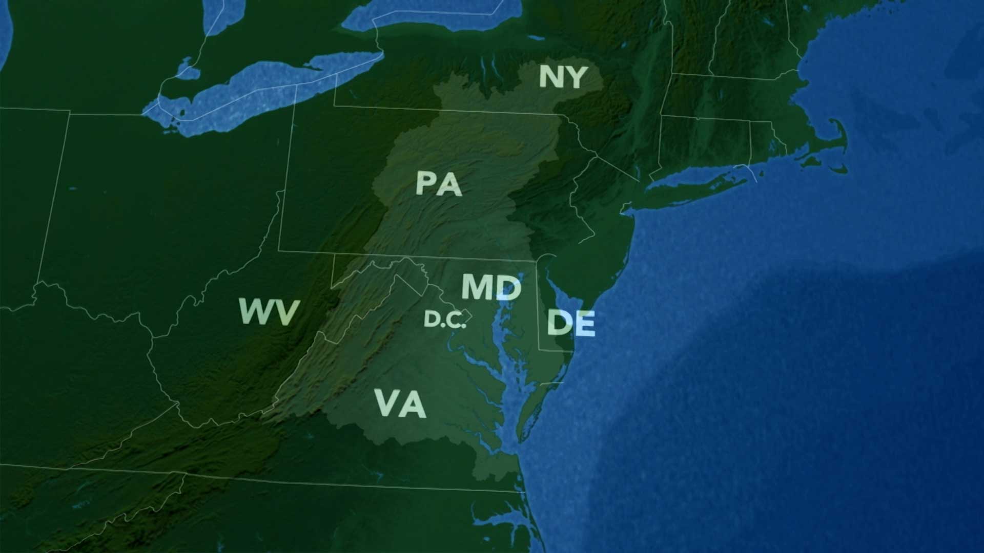
The Watershed Map shows how water moves throughout Central Pennsylvania.
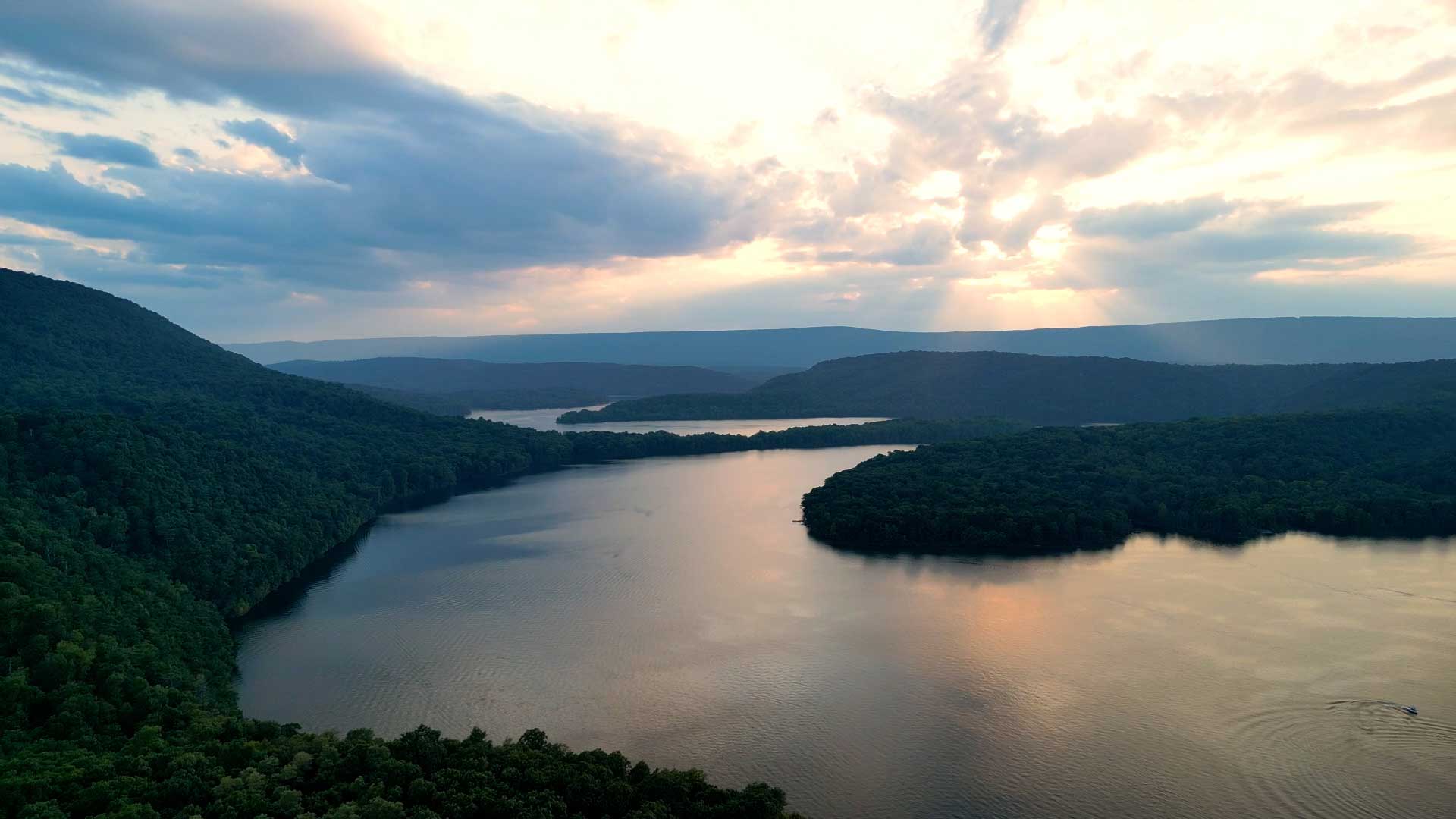
All the rain that falls in this area flows through the gap at Bald Eagle Mountain before traveling on to the Chesapeake Bay and the Atlantic Ocean.
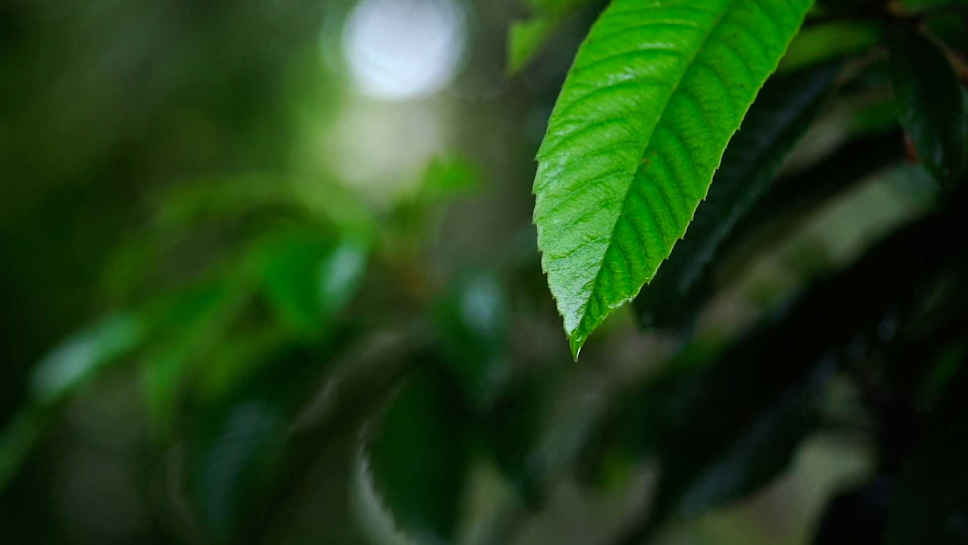
Imagine you’re a single drop of water that falls from the sky. What would you land on? A leaf? The ground?
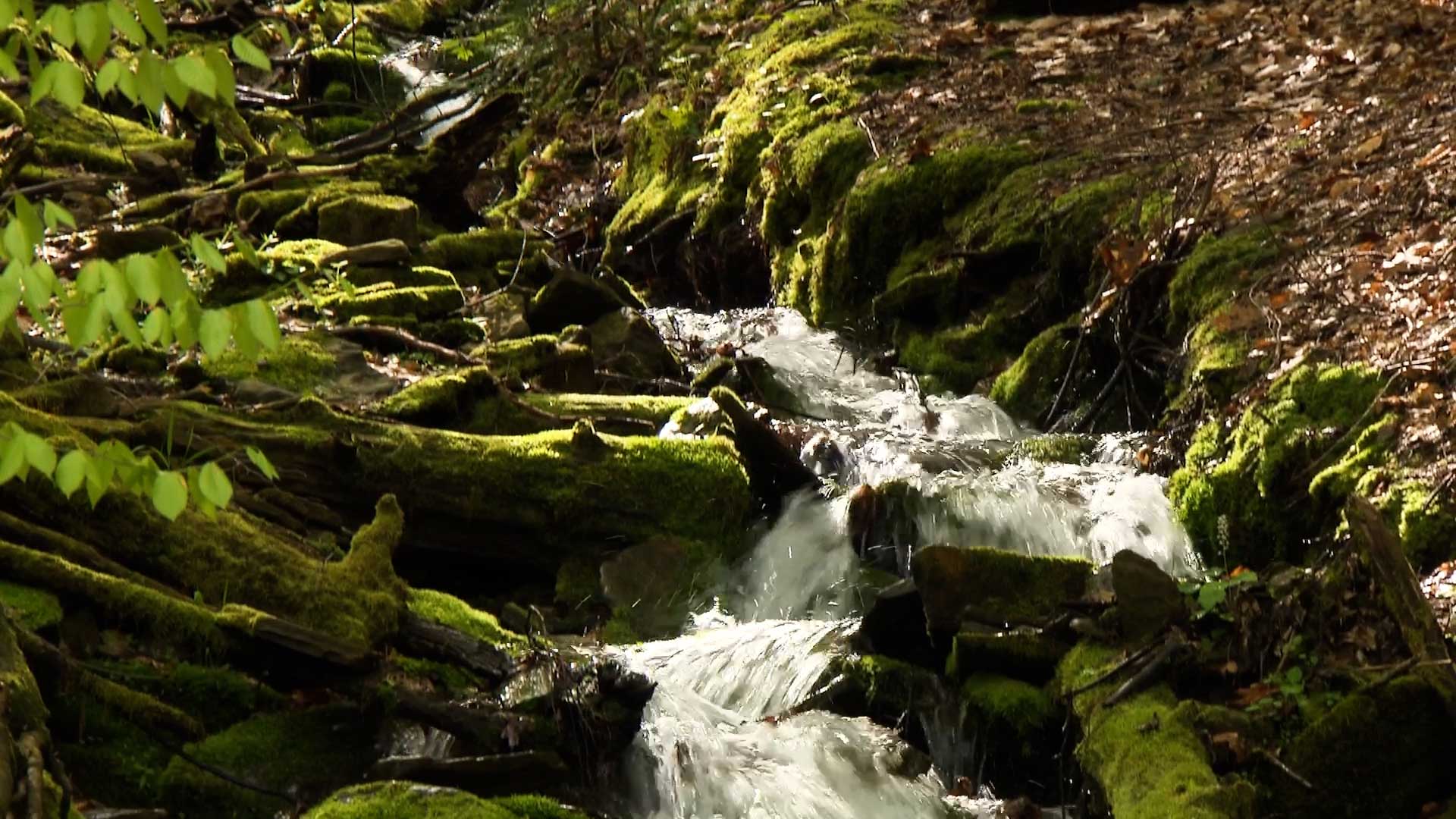
Those drops of water fall into a stream that runs down a mountain.
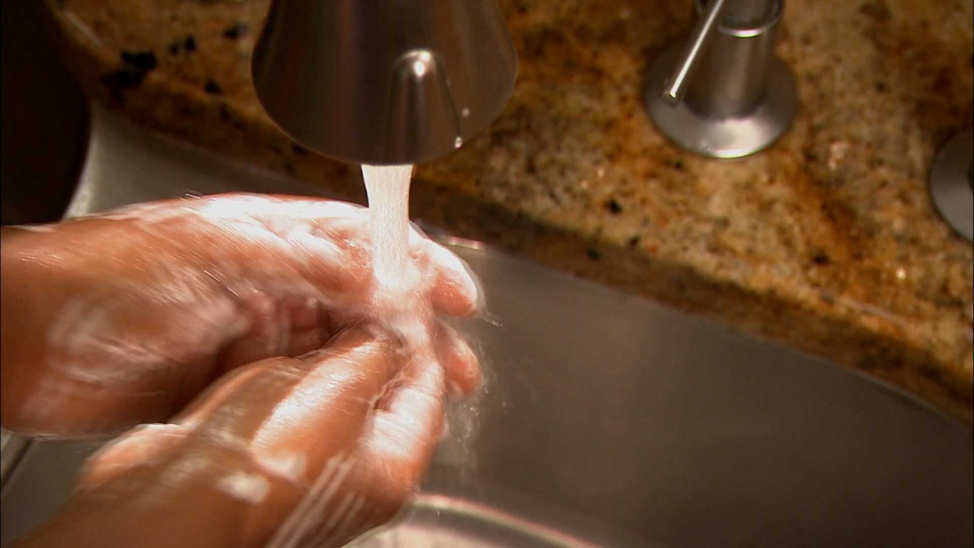
Some water ends up in a well that brings water into people’s homes.
Some water ends up flowing all the way from Central Pennsylvania to the Chesapeake Bay and the Atlantic Ocean.
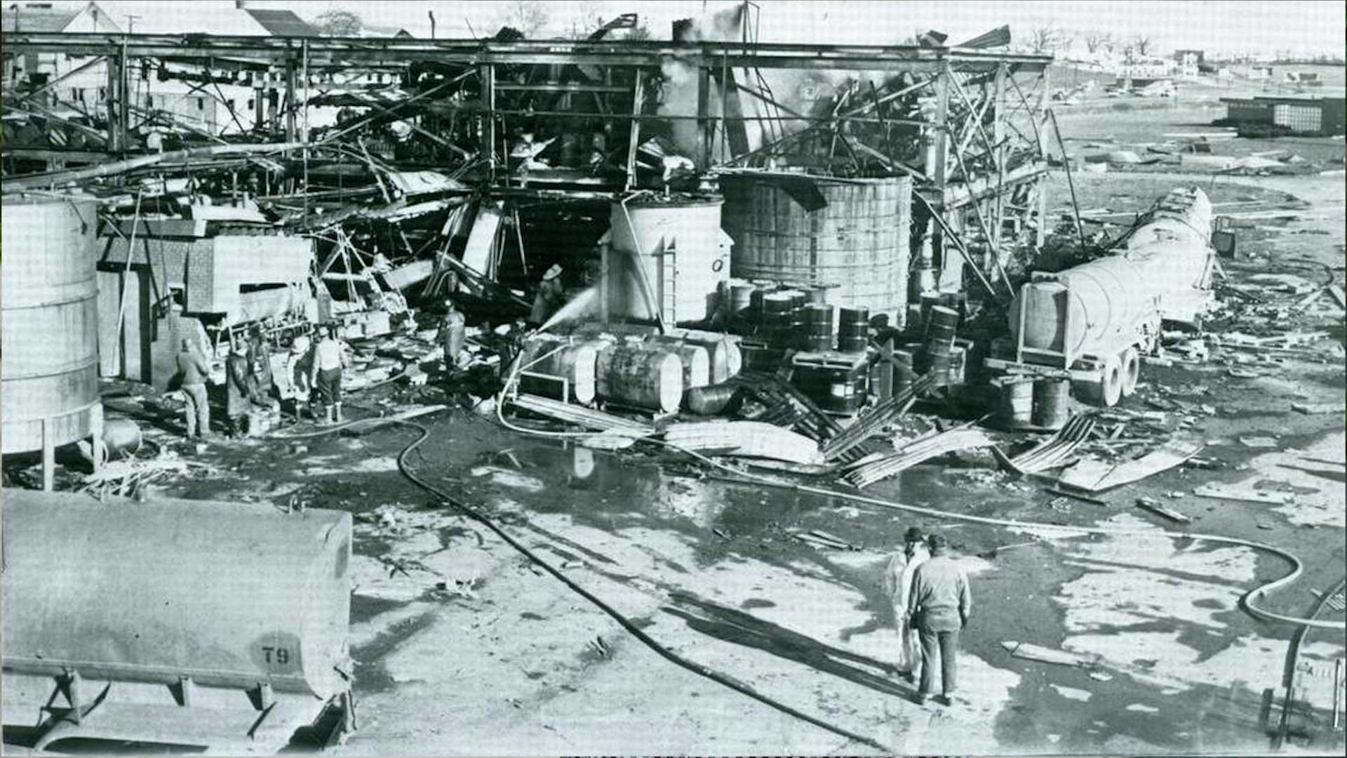
Water has also become polluted because of industry leaks and poor environmental practices.
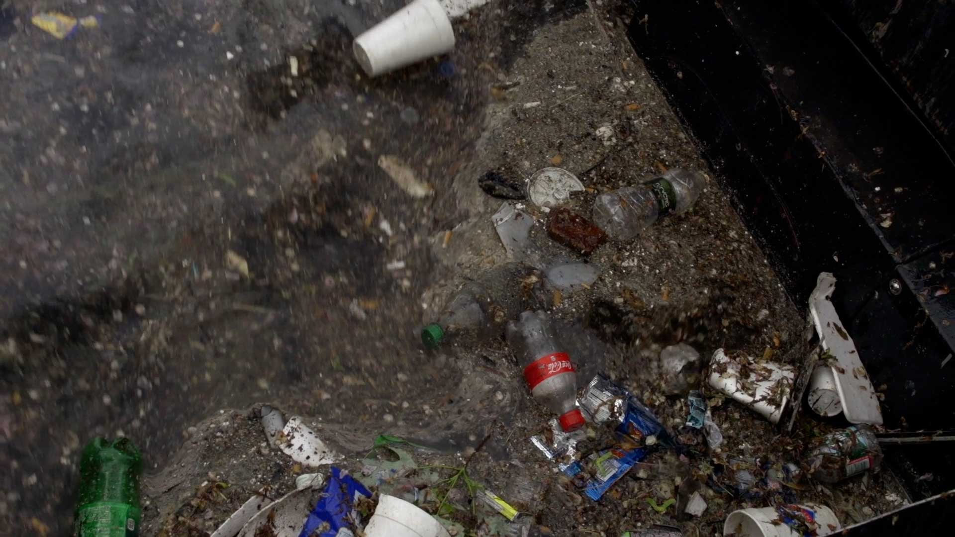
Towns and cities also create pollution like sewage and littering that end up in the water.
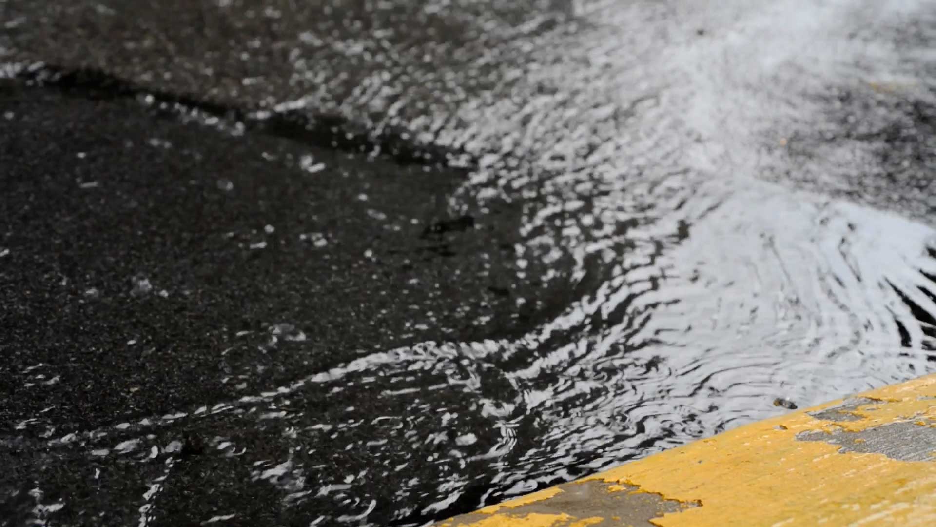
Hard surfaces like roads stop water from being absorbed into the ground.
Open spaces have an area where water can flow into the ground.
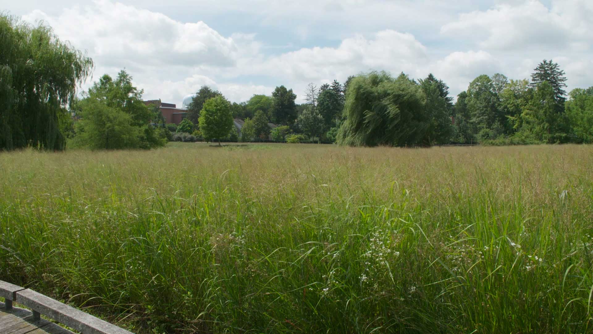
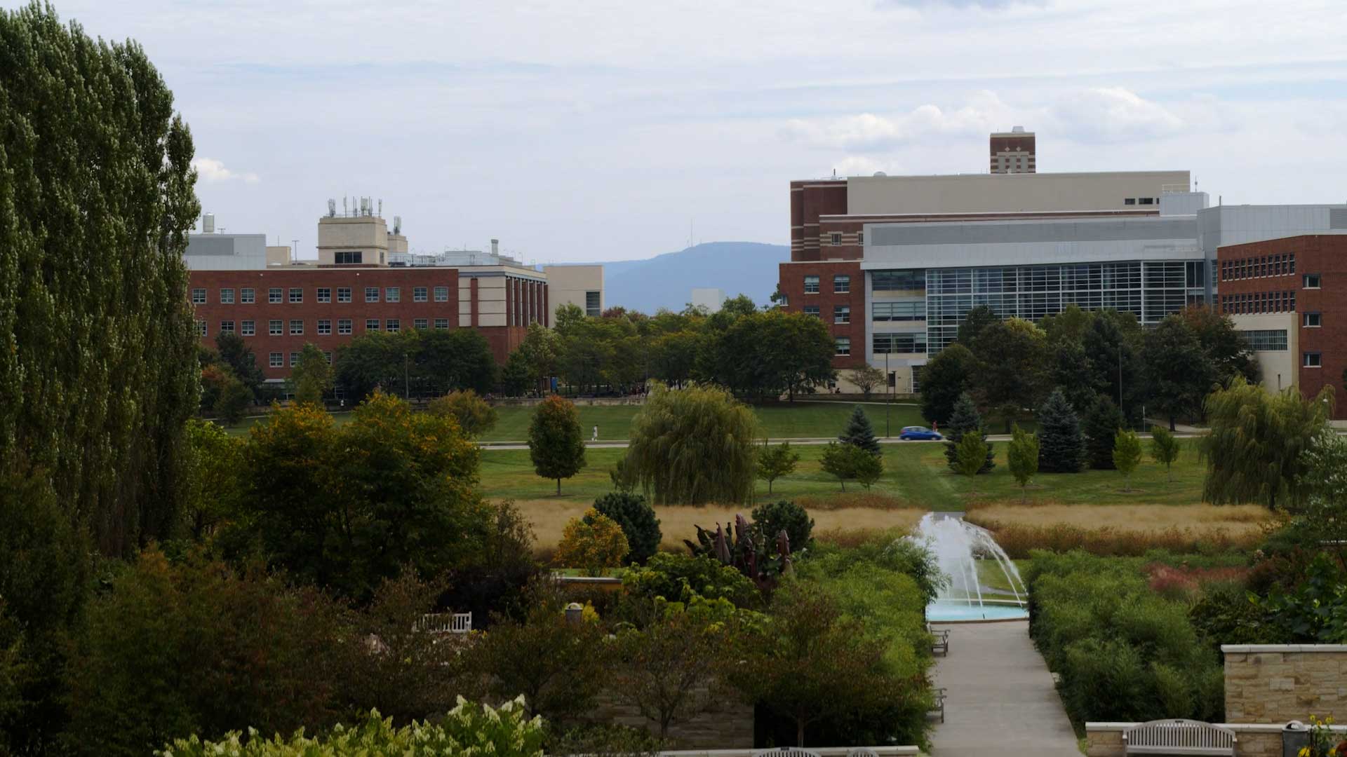
The Marsh Meadow Preserve is an area where water from the Penn State campus and surrounding neighborhood can filter into the groundwater.
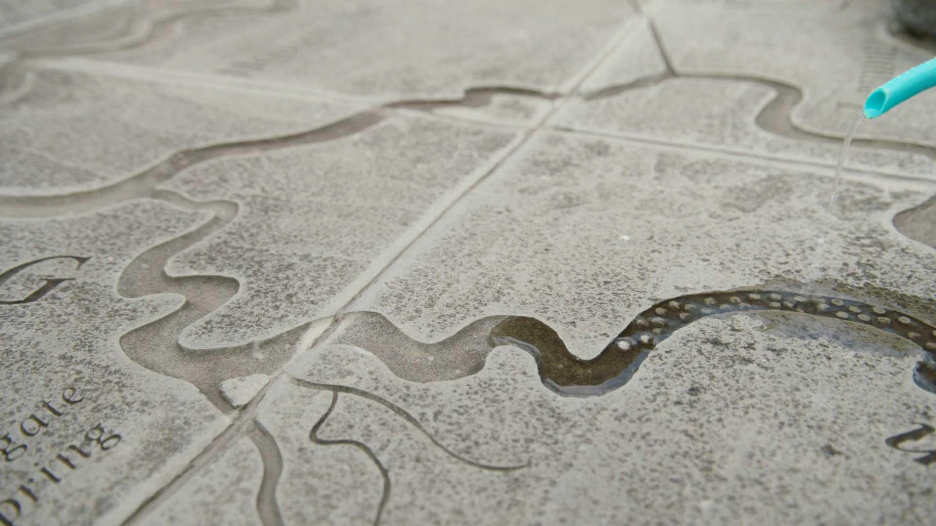
Bring some water to the Watershed Map to see the water’s journey from Central Pennsylvania to the Atlantic Ocean.
Check out the Watershed Resources at the Arboretum for a guide for teaching about watersheds.